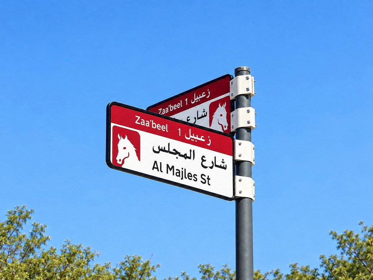
Dubai is redesigning its street addressing system with a new generation of signs that combine colour coding, Makani location numbers and QR codes. The Supreme Committee for Urban Planning, working alongside the Roads and Transport Authority and Dubai Municipality, says the overhaul will eventually cover 186 areas across 19 sectors of the emirate by 2030.
The first phase, already under way this year, will see more than 2,000 signs installed or replaced in five areas: Za'abeel 1, Za'abeel 2, Nad Al Sheba, Al Khawaneej 1 and Nazwa. A broader rollout across the remaining areas is scheduled to begin in the fourth quarter of 2026.
Each sign uses one of five colours to reflect the character of its surroundings - blue for coastal districts and gold for desert areas, among others - making it easier for residents and visitors to get a sense of a neighbourhood at a glance. House plates will continue to carry the Makani number, the unique location identifier used across Dubai for deliveries and emergency services.
The headline addition is a QR code on each plate. Scanning it brings up details about the sector and area, the meaning behind the street's name, and nearby landmarks - an attempt to blend the cultural and historical layer of Dubai's streets with everyday digital convenience.
Officials describe the initiative as a continuation of Dubai's long-running push to modernise its addressing infrastructure, a process that began with the introduction of Makani numbers. The stated goal is to make navigation easier for emergency responders, delivery services and tourists while preserving each area's local identity.
The rollout is expected to continue in stages until all 186 areas are covered by the end of the decade, gradually phasing out the older generation of street signs across the city.